Days 6-9 Backpacking in the Talkeetnas
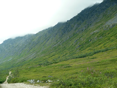
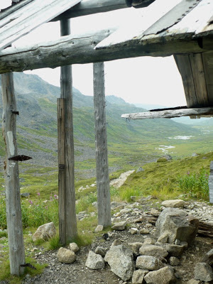
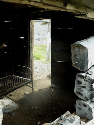
We parked at the Craigie Creek trailhead just over Hatcher Pass in the Talkeetna Mountains. The first 4.5 miles traversed a decades-old mining road, now muddied and narrow for lack of use. Leading us through the valley toward Dogsled Pass, the road passed a few abandoned mining cabins and rusted equipment, scrap metal jutting from the earth like old dinosaur bones just waiting to be rediscovered. Little did I know this would be the easiest part of the trip. The sun was shining and although our packs were about 45 pounds a piece, the old road proved to be the best (and only) manmade footing we’d have all week. Little did we know the sunlight would be our last as well.
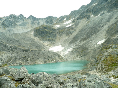
[Craigie View, Craigie Cabin View, Craige Cabin Inside]Sumitting Dogsled Pass, I glimpsed my first view of a “tarn.” This word is used to describe high alpine bodies of water that are tucked between mountain peaks. Like hidden bowls, these tarns aren’t visible from the valley floor and many are not mapped because sometimes they are there and other times they aren’t. One of the best surprises to a backpacker in Alaska might be to come upon such a lake, its aqua-marine-slate surface flat enough to reflect your purely awestruck face.
[Tarn]Leaving the old road behind, we began bushwhacking and bouldering our way down the mountain. I used to think that Alaskan’s used the term “bush” as opposed to “backcountry” as if to somehow imply that their wilderness was “more wild” than, say, the Rocky Mountain west. I now understand that Alaskan’s say “bush” because there simply are no trails to speak of. That we entered the valley on such a long road was in fact a unique feature, and one carefully selected by my hiking partner, Michael. That we also began the more difficult part of our journey at the headwaters of Purches Creek, just the other side of Dogsled Pass, was also Michael’s doing. Start high and you’ll have plenty of water, plenty of options, and perhaps a clearer view of how to navigate your next moves. Start low and you might be huffing it through willow thicket after willow thicket for a few miles before you can stake out a decent vantage point to decide your next big move.
What our first major vantage point showed us was that there was no way we were going to be able to cross the Purches Creek Valley and summit the next pass (unnamed) without heavy climbing gear. Our “plan” head been to camp at the headwaters of Purches Creek the first night, summit the unnamed pass, and descend into the Peters Creek Valley for the second night. It was this plan, along with phone numbers and names, that I emailed my parents about…but not three hours into the trip that plan drastically changed and there was no telling anybody about it. It’s easy to think we could have read about the unnamed pass in a guidebook. After all, that’s what I did every other time I backpacked in new terrain. But the only guidebook about this pass was written by a man who explored this area in the wintertime, sledding over passes made smooth by snowfall.
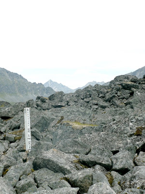
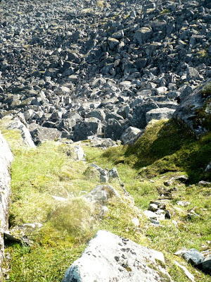
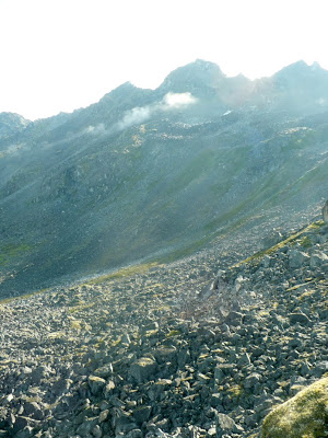
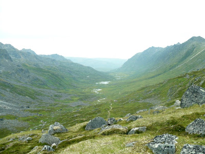
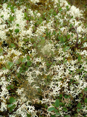
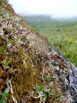
[Unnamed Pass in the distance]Accepting that we had to move on, we navigated our way across and down a boulder field for upwards of two hours before finally hitting the soft, tundra mosses at the eastern most edge of the Purches Creek Valley. I will tell you that these boulders were as big as cars. And I will tell you that over a dozen kinds of lichen could grow across any small stretch exposed to enough sunlight. That the lichen was soft would be a lie. That the bouldering was easy would be a lie as well. But that we made it safe and sound would be a victorious truth and oh, did the valley floor feel soft beneath our boots when we finally arrived. Here, the wall on the right is due north, which means the sun arched directly overhead the entire day, running east to west, and finally “setting” as far as we could see down the valley each night.
[Bouldering shot 1 w/ mining claim, Bouldering 2-3, Purches Creek View]Scouting the tundra for a place to set up camp and cook, I couldn’t help but compare how different this trip was compared to any backpacking I did “in the lower 48.” For instance, I’ve always purified my water with a pump or iodine. When I set up camp, I triangulate 100-200 yards from where I sleep, setting up a cooking area in one corner and a bathroom area in another. If you’re in bear or rodent country, make it a diamond shape for the forth point where you hang your food.
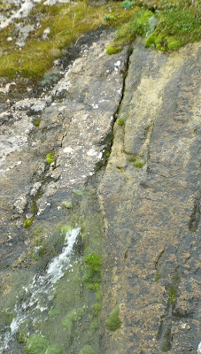
Not so in Alaska. Michael, who I guess to be somewhere between 54-60 years old, has never and will never purify his water in the bush. He’s the trip guru so I follow his lead, which leads to numerous complications as we set up camp. First and foremost, we’re at the headwaters of the creek and will be drawing water from this valley for the remainder of our creek. If we sully the waters camped up high, we’ll basically be drinking runoff from our own poop piles all week. We agree instead to only go to the bathroom on the south side of the valley and only take water from side creeks pouring down off the north side of the valley. We leave Purches Creek untouched which is a good move, it turns out, as a few miles downstream we find evidence of beavers (guaranteed giarda). Here, a spring bursts through the rocks and I took my first unfiltered drink of Alaskan waters.
[Spring]An additional complication is what to do with the food. I grew up bear bagging, which means we hung our food packs from trees (another triangle is necessary there, as well, in order to get it far enough away from the trunk and high enough off the ground to avoid the reach of a bear’s arm). “What’s bear bagging?” Michael asks. I explain and then ask him to explain the “bear resistant food canister,” of which we only have one but needed two. In the end, we put the most odorous and tempting food in the canister and Michael stashes it beneath a dry boulder some hundred yards away. All other food, including bathroom supplies, get bear bagged and slung over just the right kind of boulder to keep it away from the arctic ground squirrels and voles that scurry about the tundra. It’s an insufficient system to my eyes, but it’s the best we can do without any trees to speak of and with bear scat all up and down the valley.
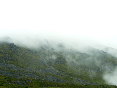
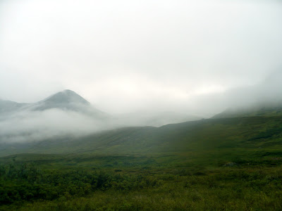
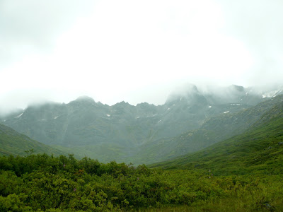
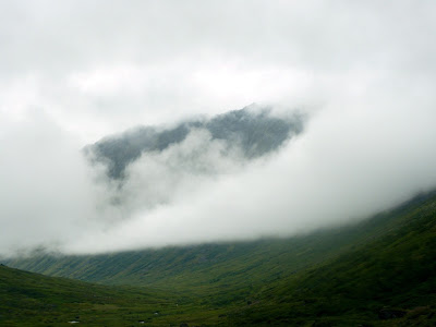
Our second morning, we woke to rain and 40-degree weather that didn’t let up for at least fifteen hours, and in sum total didn’t let up but for a few hours each day until Friday. I glanced up from a pot of bubbling grits to see the Purches Creek Valley filling in with clouds faster than you can say, “Which way now?” Before we’d finished our first servings we were completely whited out by clouds and sopped in by rain. All vanatage points—that of the high peaks on the north wall and the boulder fields along the south wall—were completely nondescript through the thick fog. I took these pictures less than five minutes apart from each other.
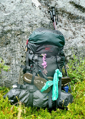
[Purches Creek white out 1-2, Wet Pack w/ fireweed]There is really no way to put into words the kind of varying efforts and feats of balance necessary for walking across the uneven trundra, across the soggy muskeg, and through willow thickets knee-to-head-high for miles and hours on end. While I descended the boulder fields with relative ease, Michael moved through the thickets at seemingly lightning speed. Bear scat here, moose scat there. Wolf scat. Caribou scat. Lynk scat. More bear and moose scat. Pick any avenue through the thickets and the large mammals have beat you to it, nibbling on leaves, thrashing branches, and leaving palm-sized paw and hoof prints in their wake. I have never felt so utterly close to moose and bear, sensing that they were right there all along (and judging by the freshness of their scat, indeed they were) yet hardly ever seeing them.
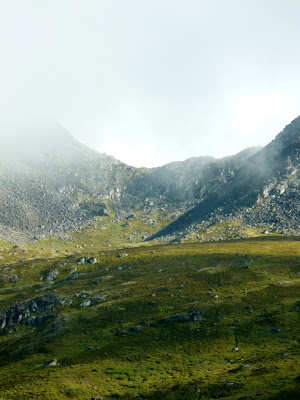
Later, with a little forgiveness from the clouds lifting (though no forgiveness from the rain), we could see across the valley to the south wall, where the hillside eased up and most likely cradled a tarn just over the crest of this first hill. To the north, the highest peaks were visible again. Do not be fooled by these lush greens of August. Do no let yourself think for one moment that there is a square foot of even ground on this valley floor. The rocks are virtual colonies of lichen and mosses, soft—at times—but more often like sandpaper. The grasses are either soggy muskeg with hummocks and sinkholes or dense willow thickets with slippery roots and whipping leaves.
[Across, Into, For Joy: Specimen 1& Specimen 2]We can’t be certain how many miles we hiked the second day, as we carved s’s and c’s along the valley floor, then up higher in some places, moving in such a way that one mile as the crow flies could easily be two as miles and the hiker bushwhacks. We bushwhacked for five or six hours, though, picking up the “moose highway” a few times and gaining speed like never before. However far we went, it was far enough into the Purches Creek Valley (which is some twenty miles long in total) to see black spruce groves, indicating we’d almost broken through tree line. For our second night, we set up camp within sight of those groves, but opted not to hike all the way into them. We set up when we grew tired, which was perhaps 1-2 miles from the groves, but it was a necessary decision. The clouds rolled back in, taking the trees and high peaks from view and replacing them with yet more rain.
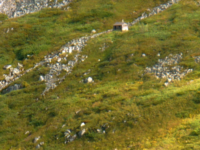
The third morning we headed back out the valley the way we came in, hiking due east now and with the wisdom of the miles we had behind us. Our packs were lighter, the rain lessened a little, and we had high hopes of finding our way to a fine-looking mining cabin we’d spotted the second day some six (or so?) miles back up the valley. I ventured a guess that the cabin was along the 4200 contour, which is about the level we come out on after the boulder fields descending from Dogsled Pass. If we could get to that cabin on our third day, we’d not only have sweet sleeping and cooking, but we’d be in fine shape the next morning to contour the cirque of mountains at the headwaters and save ourselves a lot of up and down. When the cloud rolled in that first time, I noted a distinct waterfall across the valley from the mining cabin. Michael agreed we should use that to navigate our way to the cabin on our way back, and as we attempted to do so, more cloud rolled in.
[Lost in the Clouds]After several hours of shimmying up the mountainsides, these slopes ascending 2000 feet in 1.5 miles, we’d lost all reference points for the cabin and were fully sopped in again. We knew we were close, but we couldn’t see more than thirty feet in front of us. High, high up in the true bear country, we could either push it a few hours further in hopes we’d spot the cabin through the clouds, or we could descent and make camp where we had two nights prior. Note the distinct “line” of clouds at the dew point along the north wall of the mountains pictured above. I believe we were hiking along that line (it’s much wider when you’re in it). As the sun set, the dew point failed to lift, and so it was we were shivering on the side of the mountain once again. The good thing, of course, was that through it all the rough and rumbling Purches Creek was audible through the clouds, and the valley was aligned in a relatively straightforward manner, so there was never any risk of getting too terribly lost. We descended all that we had climbed, at times sliding sideways down the grassy patches on the mountain slopes (rain pants make great sliding gear). As we reached our former campsite, the clouds lifted and we spotted the cabin in no time. Indeed, we had been close but not close enough, and by then we were both hungry and cold. Michael cooked, as always, while I set up our base camp and sorted out the food to prepare the canister and bags.
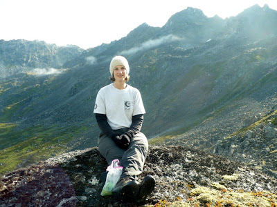
[Cabin]The fourth morning we woke to sunlight, this great yellow ball shining through the morning clouds with hints of blue just beyond. As we ascended Dogsleg Pass with much more ease this time, we left the valley behind but not without stopping for a long last visit with the trundra mosses on the high rocks. We looked out over the valley that, for at least a few days, had felt like a close and complicated friend of ours. It was a difficult place to leave and not one I’ll soon forget.
[Final Ascent} [More soon, folks…such as: Hiking One Mile in Alaska, Categories for Survival, Train Rides into the Country, and Berry Picking on Prince William Sound…Oh, each day here feels like a week!]


great photos! can't wait to see you!!! – amy